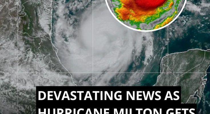
Hurricane Milton has “rapidly intensified” into a Category 5 hurricane, the National Hurricane Center said.
The storm now has maximum sustained winds of 160 mph (250 km/h).
“10:55 CDT Monday Update: Milton rapidly intensifies into a category 5 hurricane. Data from a @53rdWRS hurricane hunter aircraft indicate that the maximum sustained winds have increased to 160 mph (250 km/h) with higher gusts,” the NHC wrote on X (formerly known as Twitter) on Monday (October 7).
Florida Rep. Anna Paulina Luna released a video warning that Hurricane Milton will be “worse than Helene” and urging people in the area to evacuate.
Milton “rapidly intensified” into a Category 5 hurricane, the National Hurricane Center (NHC) said on Monday
Milton is predicted to make landfall as a major hurricane in the Tampa Bay area on the Gulf Coast of Florida sometime between 1 p.m. Wednesday (October 9) and 1 a.m. Thursday (October 10), according to the NHC.
In their 8 am report, the NHC noted that Milton had reached maximum sustained winds of 125 mph, marking an 25-mph increase over the course of an hour.
Milton is expected to downgrade to a non-major hurricane (Category 1 or 2) as it continues northeast through Central Florida before exiting the state off the East Coast, back into the Atlantic Ocean, the NHC added.
The hurricane is predicted to make landfall in Florida’s Tampa Bay area sometime between 1 p.m. Wednesday and 1 a.m. Thursday
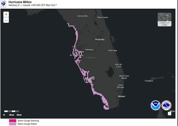
“Storm Surge and Hurricane Watches are now in effect for portions of the west coast of the Florida Peninsula and residents in the area should follow any advice given by local officials and evacuate if told to do so,” the hurricane center wrote, adding that “areas of heavy rainfall will impact portions of Florida today (October 7) well ahead of Milton.”
Tampa Bay, as well as the Anclote River to Englewood, Florida, could see storm surge as high as 12 feet.
“Rainfall amounts of 5 to 10 inches, with localized totals up to 15 inches, are expected across portions of the Florida Peninsula and the Keys through Wednesday night,” the hurricane center said.
“This rainfall brings the risk of considerable flash, urban, and areal flooding, along with the potential for moderate to major river flooding.”
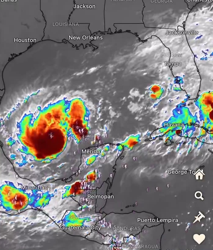
Image credits: krishnakamal077
“We’re talking about storm surge values higher than the ceiling,” warned Florida Division of Emergency Management Director Kevin Guthrie, as per the Sentinel.
“Please. If you’re in the Tampa Bay area, you need to evacuate.
“If they have called for your evacuation order, I beg you, I implore you, to evacuate. Drowning deaths due to storm surge are 100% preventable if you leave.”
Milton would be the second hurricane to hit Florida’s Gulf Coast in less than two weeks after Hurricane Helene made landfall on September 26 as a Category 4 hurricane, causing over 200 deaths and significant destruction across six states.
Helene, which caused over 200 deaths across six states, was a Category 4 hurricane

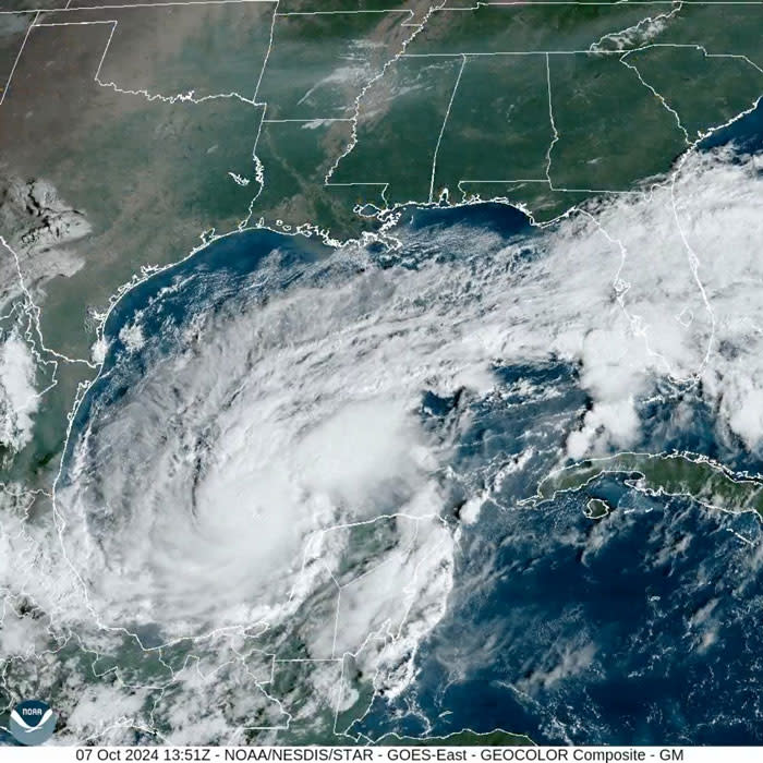
Image credits: KristyTallman (for illustrative purposes only)
In a press conference held on Monday (October 7), Florida Governor Ron DeSantis said that he “don’t know exactly how” the storm is “going to go.”
“When you’re talking about 30, 40, 50 miles north or south, that will make a huge difference in terms of who gets the worst surge, how much power is ended up taken out, and so we have no way of knowing how that’s going to shake out.”
DeSantis added that “the resources are being brought in, and the power restoration effort will begin as soon as it’s safe to do so.”
Florida Division of Emergency Management Director Kevin Guthrie urged everyone in the Tampa Bay area to evacuate
Image credits: JPL606
The governor declared a state of emergency in 51 counties, including Broward, Miami-Dade and Monroe Counties.
DeSantis has reportedly deployed 5,000 National Guard members in response to the hurricane, with an additional 3,000 members expected to be mobilized before landfall.
On Sunday (October 6), the NHC warned of a “an increasing risk of life-threatening storm surge and damaging winds for portions of the West Coast of the Florida peninsula beginning Tuesday night or early Wednesday.”
The strongest tropical hurricane to make landfall in Florida was the Category 5 Labor Day Hurricane of 1935. With winds reaching 185 mph (295 k/h), the storm resulted in the deaths of over 400 people after it made landfall in the Florida Keys, between Key West and Miami.
A potential major hurricane hitting Tampa Bay directly hadn’t occurred in over 100 years. The last time was the deadly 1921 hurricane, which brought an 11-foot (3.3-meter) storm surge that inundated downtown Tampa.
